 vesseltracker.com
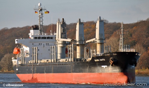
Vessel LADY SEMA IMO: 9233624, MMSI: 371043000 Bulk Carrier
UTC, 40.80500, 6.86667, course: -1, speed: 9
UTC, 40.57833, 7.03833, course: -1, speed: 9
2026-02-21 11:43:18 UTC, 40.35167, 7.20500, course: -1, speed: 9
Live AIS position:
UTC. 48 nm W of Porto Conte Torre Nuova),
updated 2026-02-21 11:43:18 UTC.
Find the position of the vessel LADY SEMA on the map. The latter are known coordinates and path.
marine traffic ship tracker show on live map
The current position of vessel LADY SEMA is 40.35167 lat / 7.20500 lng. Updated: 2026-02-21 11:43:18 UTCCurrently sailing under the flag of Panama
LADY SEMA built in 2001 year
Deadweight:
16190 tDetails:
Last coordinates of the vessel:
UTC, 41.17500, 6.56667, course: -1, speed: 9UTC, 40.80500, 6.86667, course: -1, speed: 9
UTC, 40.57833, 7.03833, course: -1, speed: 9
2026-02-21 11:43:18 UTC, 40.35167, 7.20500, course: -1, speed: 9